
Mapping geographical distributions in the World Register of Marine Species
Serge Gofas · From WDSRPD to GeoSchemes: Recording Biodiversity Distributions for Science and Policy
Summaries and key moments are machine-produced. Check the recording for the speaker’s exact words.
The short versionA country-aware, hierarchical marine geoscheme will let WoRMS and others record and query distributions consistently, pending a solution for defining spatial units in a TDWG standard.
What this was about
Serge Gofas explained why WoRMS needed a standard set of marine geounits: species distributions were recorded with haphazard units. Neither EEZs (too uneven) nor Marine Ecoregions of the World (ignoring borders) were adequate, so the TDWG GeoSchemes marine task group published a hierarchical proposal with five oceans, ~200 level-two and 577 level-four units, coastal areas split country-wise and high seas based on Watling et al. He raised the unresolved issue of how to write English 'definitions' required by the TDWG standards specification for spatial units, proposing reference to maps in Marine Regions, and outlined uses including national checklists, cross-checking GBIF/OBIS points and global analysis.
Why it matters. It extends a widely used TDWG geographic standard to the oceans, enabling national marine checklists and literature-based distribution records.
In the room
- WoRMS is curated by 300+ experts and hosted at VLIZ; its distribution tab suffered from inconsistent geounits.
- EEZs work for small countries but large or multi-coast countries need subdivision.
- MEOW ignores country borders, making locality assignment ambiguous.
- Level one: major oceans; level two: coastal areas by biogeographic region plus high seas; level four: 577 units.
- High seas use Watling et al. with a 3,500 m threshold between bathyal and abyssal.
- Unit codes are unique across terrestrial and marine parts and can serve as controlled vocabulary strings.
- Unit sizes (100,000-500,000 km2) are comparable to five-degree grids.
Notable moments
Transcript
Automatically generated captions can contain mistakes, especially in names and technical terms. Times are relative to the room recording.
Read the transcript ↓
Related talks.
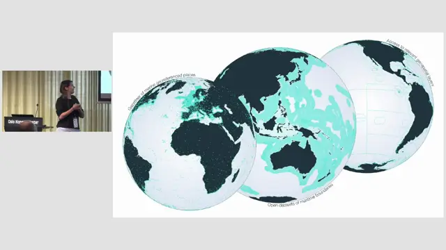
Marine Regions as a backbone for the TDWG Marine GeoScheme
Marine Regions supplies the identifiers, boundaries and hierarchy that make a marine geoscheme maintainable.
A collaborative perspective on a globally standardised river basin name database
Freshwater biodiversity data need a global, multilingual, collaboratively maintained river basin naming system, and TDWG, Wikidata and OpenStreetMap could build it together.
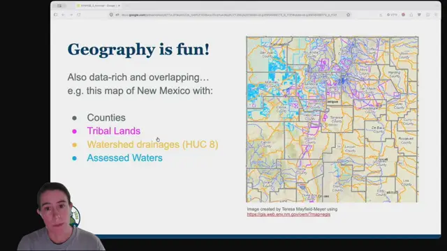
The Unruliness of Higher Geography: What is it doing for us?
Darwin Core needs more explicit, time-aware ways to share human and physical geography so data without coordinates can still be discovered and used.