
A collaborative perspective on a globally standardised river basin name database
Daniel Mietchen · A consensus taxonomic reference for improved freshwater biodiversity data and knowledge
Summaries and key moments are machine-produced. Check the recording for the speaker’s exact words.
The short versionFreshwater biodiversity data need a global, multilingual, collaboratively maintained river basin naming system, and TDWG, Wikidata and OpenStreetMap could build it together.
What this was about
Daniel Mietchen argued that river basins are the natural spatial unit for freshwater biology but lack a global, multilingual naming system: geoscience grids and the Pfafstetter coding system ignore biology, naming, karst, flow changes and complex branching. Using Oslo's Akerselva as an example, he showed how Wikidata links the river, its drainage basin (Nordmarksvassdraget) and Norwegian REGINE and ELVIS identifiers, but that Wikidata's drainage basin statements are almost all Norwegian. He listed edge cases (seasonal and split rivers, karst, flow reversal, dams, historic courses and names, oral languages) and asked how TDWG groups, Wikidata and OpenStreetMap could collaborate, proposing an unconference session.
Why it matters. Being able to state in a standard way which river basin an occurrence belongs to would support freshwater invasions, connectivity and conservation analyses that grids cannot capture.
In the room
- Geosciences put everything on grids set by measurement methods; biology rarely follows grids, so translation mechanisms are needed.
- The Pfafstetter coding system is widely used in geodatabases but knows nothing about biology or names, and ignores karst, water level changes and complex branching.
- The talk asks questions rather than giving answers: how can TDWG help express, e.g. in Darwin Core, that a fish record belongs to one basin and not another?
- Akerselva example: basin delineation from AquaINFRA-style segment data, and Wikidata items linking river, source, mouth and drainage basin (Nordmarksvassdraget).
- Norwegian identifiers exist (REGINE for basins, ELVIS for rivers); Wikidata has 431 items with drainage basin/REGINE statements and 1,066 with ELVIS IDs, almost all Norwegian.
- Transboundary rivers carry names in several languages (e.g. Norway, Finland, Russia), raising the question of which to use.
- Edge cases: seasonally dry or drought-split rivers, hunger stones, karst, seasonal flooding, flow reversal, groundwater, atmospheric rivers, paleohydrology, dams, historic courses and names, oral-only languages.
Notable moments
Transcript
Automatically generated captions can contain mistakes, especially in names and technical terms. Times are relative to the room recording.
Read the transcript ↓
Related talks.
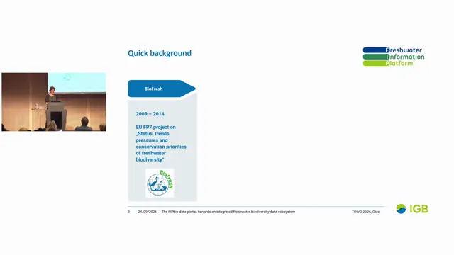
The FIPbio data portal: towards an integrated freshwater biodiversity data ecosystem
FIPbio aims to make freshwater data publishing and analysis easier by combining FADA taxonomy, GBIF occurrences, site context, abiotic and remote-sensing data, and automated catchment annotation.
From 'Lost in Translation' to Fit-for-Purpose Data: Why Ecologists and Conservation Practice Still Need Groupings and Uncertainties
Biodiversity data systems must be able to record identification uncertainty and taxonomic groupings, or ecologists face a choice between false certainty and lost ecological information.
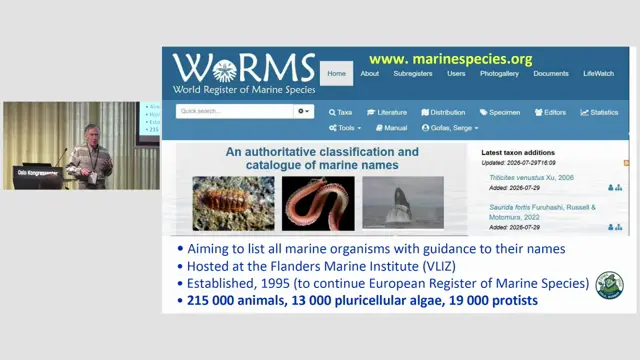
Mapping geographical distributions in the World Register of Marine Species
A country-aware, hierarchical marine geoscheme will let WoRMS and others record and query distributions consistently, pending a solution for defining spatial units in a TDWG standard.