
Improving geospecimen provenance and findability in the National Museums Scotland Scottish mineral collection
Sarah Stewart · Rocks, Minerals, and Metadata: Integrating Earth Sciences into the TDWG Community
Summaries and key moments are machine-produced. Check the recording for the speaker’s exact words.
The short versionA scripted, reviewable workflow can quickly reconcile legacy mineral records and enrich them with Mindat coordinates, while giving data back to the community resource.
What this was about
Sarah Stewart, a computational chemistry PhD student, reported on a two-month internship improving provenance for the roughly 18,000-specimen Scottish mineral collection at National Museums Scotland. She merged transcribed historical ledgers with modern museum records, parsed locality strings into hierarchical levels, standardised names to IMA species and Dana/Strunz classes, and matched unique localities to Mindat to add coordinates, using Python scripts plus manual review. The pipeline exposed record problems (26,000 records for 18,000 specimens, about 1,000 without IDs, 15,000 duplicates needing triage) and resulted in 16,000 validated specimens, while the museum contributed new species occurrences and almost 2,000 new localities back to Mindat.
Why it matters. Shows a transferable, low-cost approach for georeferencing and cleaning geological collection data, and a two-way model of exchange with crowdsourced databases like Mindat.
In the room
- The collection spans about 200 years; locality precision ranges from mine depth to just 'Scotland'.
- A dual legacy problem: historical ledgers (transcribed) and modern digitised records each contain information missing from the other.
- Localities were split into hierarchical levels (country, county, region/loch, town/parish/hill, quarry/mine) to preserve detail that external databases often flatten.
- Mindat localities were evaluated for feature type and how coordinates should be treated (e.g. mine entrance vs mountain summit).
- Scripts took about a day to run/write; the whole project took two months.
- Gave to Mindat: about 900 new species occurrences, 475 existing localities and almost 2,000 new localities; gained just over 5,000 Scottish specimens' worth of locality information and mineral coverage data.
- Coverage analysis found 366 minerals recorded from Scotland not held in the collection, and 11 held by the museum not otherwise known from Scotland.
Notable moments
Transcript
Automatically generated captions can contain mistakes, especially in names and technical terms. Times are relative to the room recording.
Read the transcript ↓
Related talks.
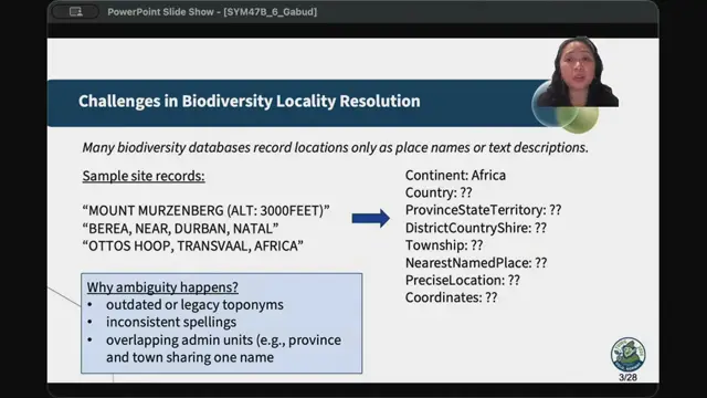
Enhancing Biodiversity Georeferencing Using Large Language Models and Knowledge Graphs
LLM preprocessing plus knowledge-base matching fills in locality hierarchies and proposes coordinates, with a review tool to keep humans in control.
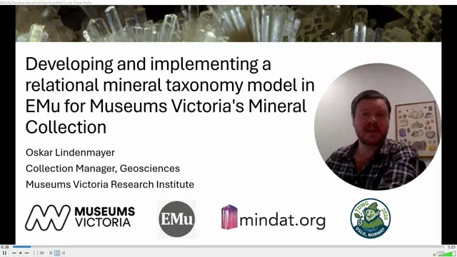
Developing and implementing a relational mineral taxonomy model in EMu for Museums Victoria's mineral collection
Linking catalogue records to shared, Mindat-populated mineral taxonomy records makes mineral identification data consistent and queryable.
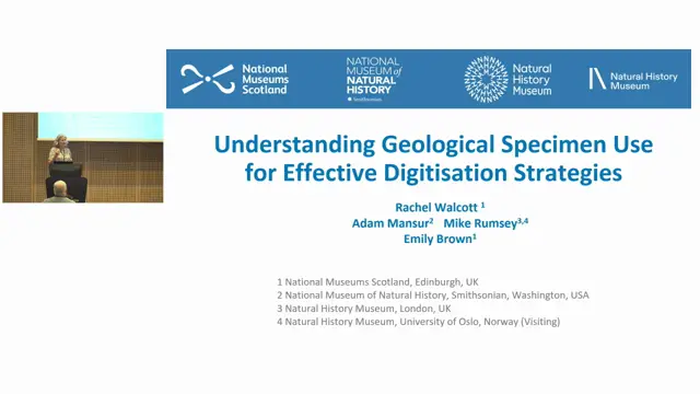
Understanding geological specimen use for effective digitisation strategies
Evidence from inquiries, loans and publications shows geological specimens have diverse, sometimes unexpected uses, which should shape which data are digitised first.