
How to operationalize large-scale aerial biodiversity monitoring?
Peter Desmet · Operationalizing Biodiversity Digital Twins within Data Space Ecosystems
Summaries and key moments are machine-produced. Check the recording for the speaker’s exact words.
The short versionExisting weather radar networks already monitor bird migration continent-wide; with open standards and the Aloft archive, they could underpin a European migration-forecasting digital twin.
What this was about
Peter Desmet explained how European weather radars, which scan the sky continuously for precipitation, also detect nocturnal bird migration, and how the vol2bird algorithm extracts altitude, speed, direction and density of 'meat in the sky' (no species information). The radar aeroecology community has produced the VPTS CSV standard (Frictionless table schema), a maintained radar metadata list, open-source packages and the Aloft data portal, archiving derived vertical profile data for 24 countries and 173 radars back to 2012, updated daily and archived on Zenodo under CC0. He outlined an aerial-habitat digital twin for migration forecasting (collision prevention, avian flu) modelled on the US BirdCast, and noted obstacles: filtered data from meteorological institutes, lack of taxonomy, and a small community maintaining infrastructure.
Why it matters. It turns an existing sensor network into a biodiversity monitoring infrastructure at no deployment cost and raises the broader question of how to publish probabilistic, non-specimen observations.
In the room
- Songbirds migrate mostly at night, at high altitude and on a broad front, making them hard to monitor with citizen science or GPS tags.
- Weather radars emit microwaves up to about 35 km from the radar; birds are separated from rain by more variable speed/direction and lower reflectivity.
- vol2bird extracts altitude, speed, direction and density, converting reflectivity to numbers of average-size songbirds; species are unknown.
- Community standards include the VPTS CSV format for vertical profile time series (defined with Frictionless table schema), a format for raw polar volumes, and a co-maintained list of European radars that tracks code changes.
- Meteorological institutes typically keep data only about two days, so the community archives derived biological data in the Aloft portal: 24 countries, 173 radars, back to 2012, nearly 5,000 days, CC0 on Zenodo, updated daily with a 1-2 day delay.
- Open-source packages support discovery, visualisation and analysis; a visualisation tool shows near-real-time migration, e.g. a radar south of Oslo and Karlskrona.
- An aerial digital twin could support migration forecasting for wind turbine and aircraft collision prevention, disease modelling (avian flu), outreach, and a biomass essential biodiversity variable.
Notable moments
Transcript
Automatically generated captions can contain mistakes, especially in names and technical terms. Times are relative to the room recording.
Read the transcript ↓
Related talks.
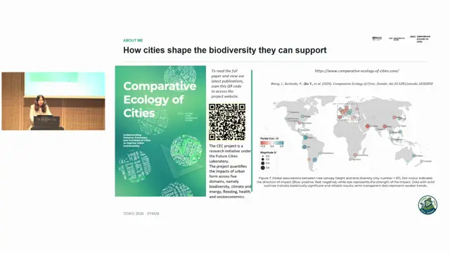
Reporting structure and sampling-bias correction in citizen-science bird data across Asian cities
Abundant citizen-science records do not guarantee inference support; reporting structure can distort richness hotspots and urban-biodiversity relationships unless it is diagnosed and controlled.
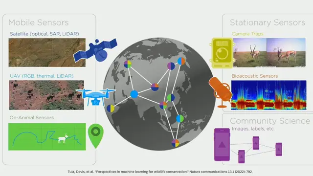
Cross-Modal Coordination for Biodiversity Monitoring at Scale: Lessons from SmartWilds
Coordinating multiple sensor modalities with AI at the far edge, informed by synchronised multimodal datasets like SmartWilds, can scale and adapt biodiversity monitoring.
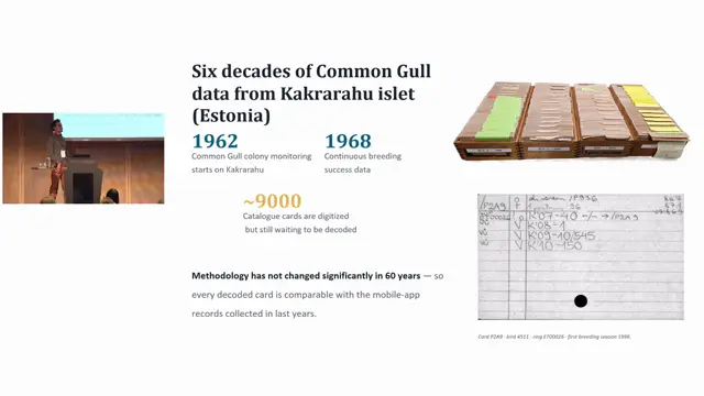
KakraCards: An AI-Assisted Pipeline for Liberating Six Decades of Seabird Heritage Data
Multi-model consensus with human adjudication builds ground truth and picks the best LLM for transcribing standardised historical cards.