
AI-assisted georeferencing a posteriori of herbarium specimens: a case study on Italian herbaria
Matteo Conti · AI for Biodiversity Data
Summaries and key moments are machine-produced. Check the recording for the speaker’s exact words.
The short versionCombining LLM parsing and LLM judging with gazetteers more than doubles correct georeferences for historical herbarium localities compared with Google Maps, even with a local model.
What this was about
Matteo Conti described a workflow for retrospective georeferencing of specimens from a national project digitising 12 large Italian herbaria (about four million specimens). Standard tools performed poorly on historical, often Latin, handwritten localities (Nominatim georeferenced under 10% and Google Maps about 50%). The six-step workflow uses an LLM parser, with dynamically injected few-shot examples matched by language and spatial relation, to extract toponyms, habitats, elevations and relations; matches toponyms against three gazetteers; ranks and filters candidates; uses an LLM judge to accept, flag for review or reject; and adjusts coordinates and uncertainty for relational localities. Run locally with Gemma it produced more than double Google Maps' correct georeferences with fewer wrong ones, and Gemma and Gemini Flash Lite flagged all coarser and wrong results for human review.
Why it matters. Coordinates are essential for analyses like species distribution models, and historical collections are hard to georeference with standard geocoders.
In the room
- Italian project phases: imaging (Picturae), transcription, cleaning and Darwin Core alignment, publication.
- About 20% of records are in Latin with historical toponyms and handwritten labels causing transcription errors.
- Prompt: system instructions, dynamically inserted examples by pattern, then batches of localities.
- Up to 10 candidates per toponym are retrieved and ranked with threshold filtering.
- LLM judge returns accepted match, uncertain match flagged for review, or rejection with an explanation.
- Results categorised as correct, coarser or wrong.
- Gemini Flash Lite performed well at half the cost of Gemini Flash; Gemma 4 runs locally at almost no cost.
Notable moments
Transcript
Automatically generated captions can contain mistakes, especially in names and technical terms. Times are relative to the room recording.
Read the transcript ↓
Related talks.
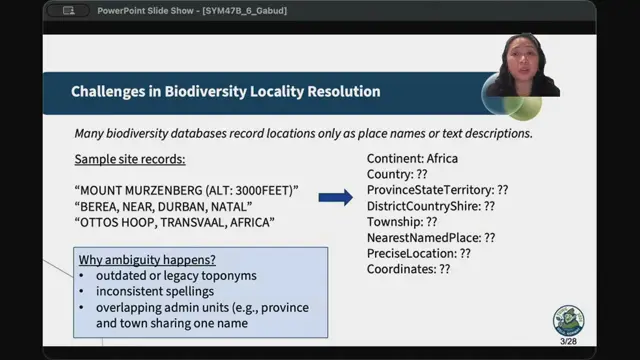
Enhancing Biodiversity Georeferencing Using Large Language Models and Knowledge Graphs
LLM preprocessing plus knowledge-base matching fills in locality hierarchies and proposes coordinates, with a review tool to keep humans in control.
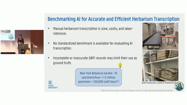
HerbAudit: Validating AI-Driven Herbarium Transcriptions
HerbAudit shows AI herbarium transcription reaching ~94% accuracy and provides a fair, field-aware way to benchmark it.
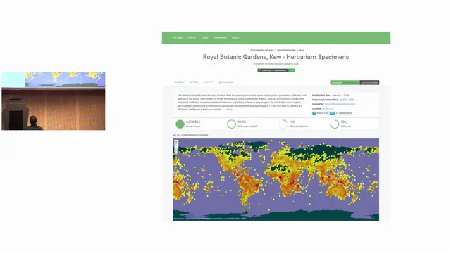
Geonomia: Metadata and Community for Georeferencing
Clustering specimens into collecting trips makes georeferencing and AI enrichment more efficient and should be done as a community effort.