
Beyond Data Integration: Ecological and Semantic Interoperability in Coastal Digital Twins
Laura Slaughter · Operationalizing Biodiversity Digital Twins within Data Space Ecosystems
Summaries and key moments are machine-produced. Check the recording for the speaker’s exact words.
The short versionCoastal digital twins expose a long list of unresolved land-sea interoperability gaps, from vertical datums and shifting shorelines to missing cross-domain ontologies.
What this was about
Laura Slaughter presented a landscape analysis of how far existing standards, data models and interoperability approaches support integrating land and sea data for coastal digital twins, and where the gaps remain. She distinguished digital models, digital shadows (what most demonstrators actually are) and full bidirectional digital twins, noting that SINTEF aims for 'learning twins' that can amend model structure. She then ran through categories of land-sea problems: spatial reference and boundaries (horizontal CRS and vertical datum mismatches, shoreline and boundary definitions), scale and resolution, semantic interoperability, units, technical interoperability, missing data (the 'white ribbon'), provenance and governance.
Why it matters. Anyone building digital twins that span terrestrial and marine domains will hit these problems; a structured map of existing support and gaps helps decide where to invest.
In the room
- Norway's long coastline has produced several coastal twin projects (coastal change, storm simulators), where marine and terrestrial data 'clash'.
- Work was a landscape analysis: derive digital twin requirements from the literature, then map land-sea integration problems, who works on them and remaining gaps.
- Digital model (no automated link), digital shadow (automatically updated from the physical system but not acting back) and digital twin (bidirectional) are distinct; many demonstrators are shadows.
- The goal is learning twins that can recommend interventions and amend both state and model structure, which raises requirements such as dynamic data integration and handling missing data.
- Spatial issues: horizontal CRS mismatches (partly addressed, e.g. by OGC), vertical datum mismatch between land elevation and marine depth, dynamic shorelines, land-sea boundary semantics and geometry mismatches.
- Semantic issues: incomplete cross-domain feature mappings, one concept with different names or definitions, need for cross-domain ontologies; units remain a problem.
- Technical issues include schema, format and API incompatibilities; static integration becomes outdated, so dynamic integration with minimal information loss is needed.
Notable moments
Transcript
Automatically generated captions can contain mistakes, especially in names and technical terms. Times are relative to the room recording.
Read the transcript ↓
Related talks.
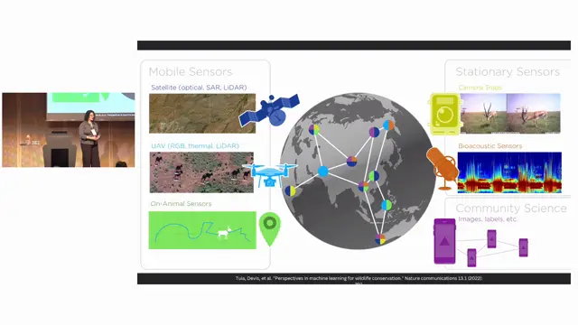
Digital Twins as System-Optimization Tools: Provisioning Edge and Cloud Infrastructure for Biodiversity Monitoring at Scale
Digital twins should close the sim-to-real loop for the sensor systems too, letting teams plan where and how to deploy multimodal monitoring before going into the field.
Operationalising biodiversity DT ecosystems through assessment-driven service mapping and reusable tools and workflow integration
A simple, purpose-first assessment that maps a team's needs and capabilities to an inventory of existing tools helps digital twin projects reuse rather than rebuild.
Post-BioDT lessons and next-generation biodiversity digital twins
BioDT delivered pilots and, above all, mutual understanding between modellers and data people; the next generation must find real users and real conservation impact rather than chase the digital twin label.